Showing posts with label Scamp. Show all posts

Tuesday, December 30, 2014

Christmas Ski Adventure

When Ryan and I first started dating, some of our earliest adventures together were ski trips to east coast resorts such as Mt. Snow, Mad River Glen, Killington and White Face- sometimes with friends and sometimes as a couple. Those trips were always the highlight of a dreary east coast winter. We never did get around to living the ski bum lifestyle though- until this winter!

Since we were unable to visit family during the Holidays this year, we decided to set off on a winter ski adventure. Rather than make reservations at cheap hotels, we now have the means to bring our home with us- our Scamp!

Day 1: A-Basin Resort. 12 runs, 13,000 feet elevation loss.

We woke up early and eager to ski, getting to A-basin well before anyone else. We had some time to throw the disc with Cody on the slopes for a bit, but couldn't skin up with her since they were doing avalanche control work.
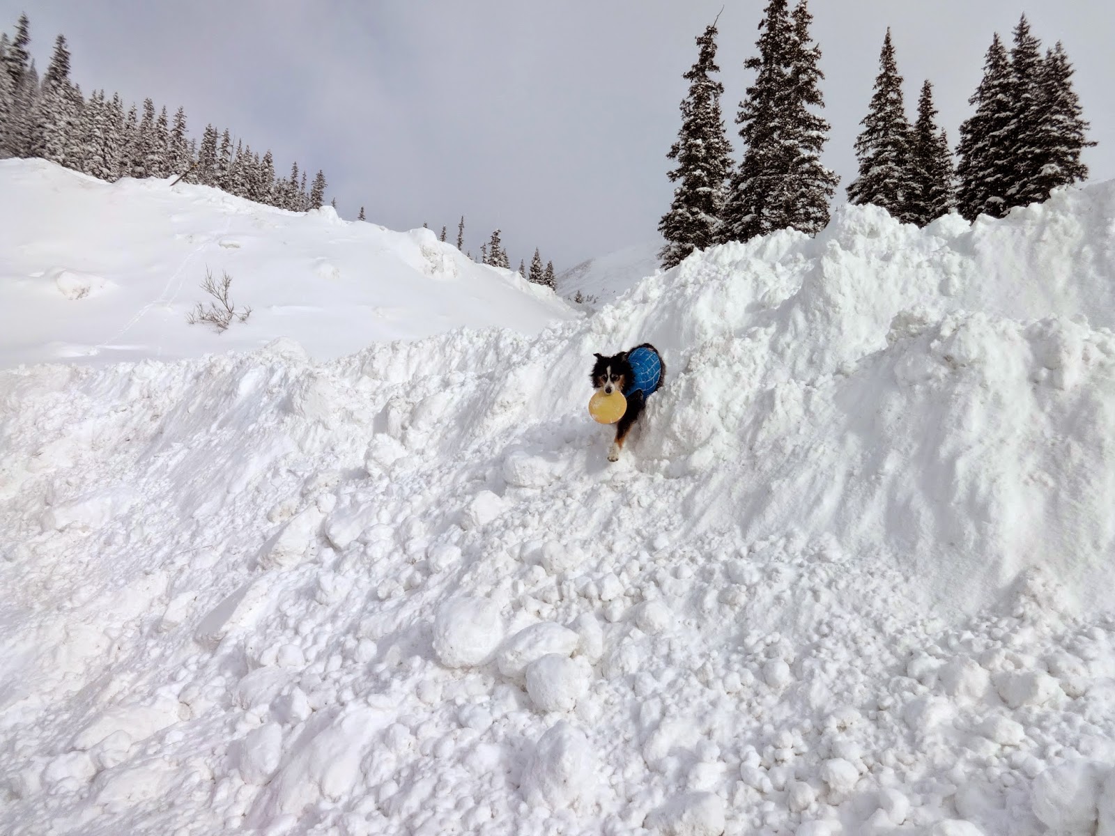
Cody climbing the snow dunes
With Cody safely tucked away in the Scamp, we hit the slopes hard- skiing almost every run off the Pallavicini lift. We took 1 break to have some food and check in on Cody- she was perfectly happy in her little house! The skiing was great- a lot more coverage than last time, and some soft snow in a few places. We spent a lot more time waiting in a lift line today than we have ever had to, so that's why we were only able to ski 12 runs.
Steep!

Day 2: Vail

After an amazing day of skiing at A-Basin, we headed out to Vail while there was still daylight in order to find a place to park the Scamp. Our first potential parking spot had 'no overnight parking' signs listed everywhere, but that worked out in our favor because the next spot was gorgeous- and legal.
Views from our camping spot overlooking Vail
The next morning we woke up to a frozen scamp. After spending a while warming up (even our contacts were frozen solid!) we got to the Gondola right when the lifts were opening. Since it was Christmas Eve day there was almost no one at the resort. So much for Vail being crowded!

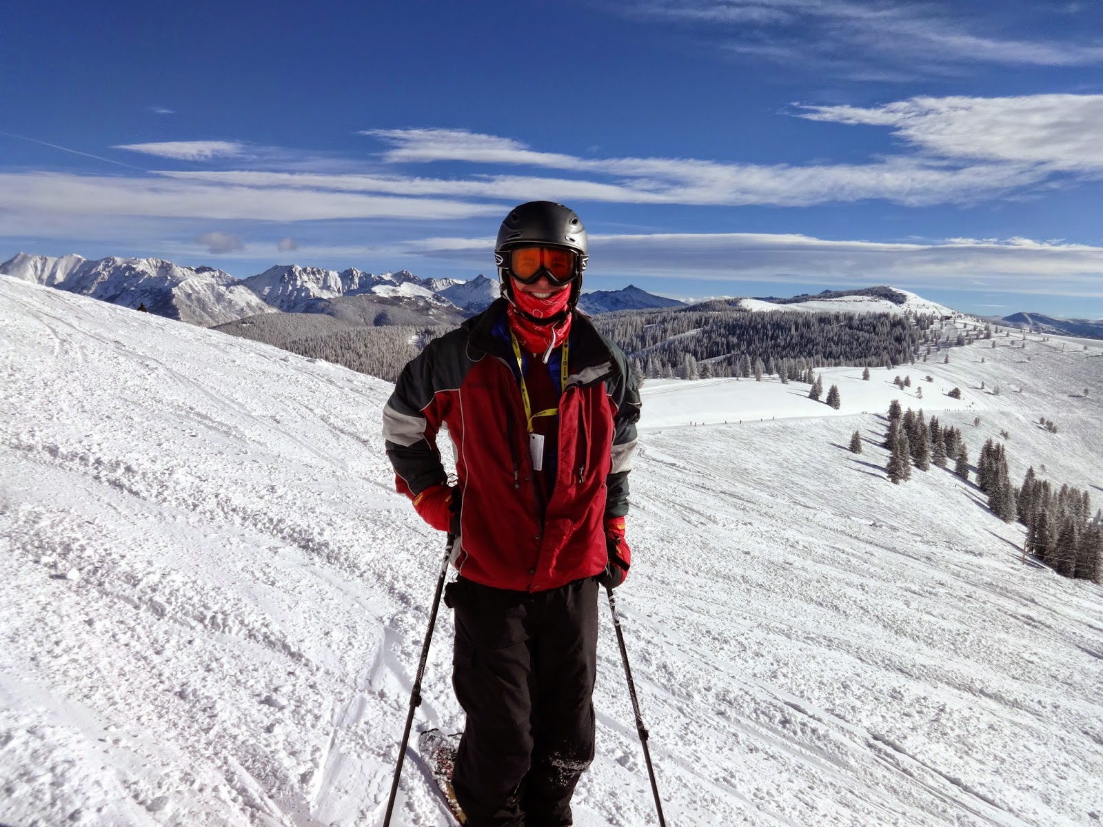
This was our first time skiing Vail, and we both went into the resort with minimal expectations. Wow. What a place. I really have never skied anywhere quite like it.

The place is absolutely gigantic. It seemed like you could ski a new run every time- for a week!
The views were stunning and we were treated to a spectacular blue bird day!

There is just so much terrain. The back bowls- despite not being a perfect powder day- were still incredible to ski. We even found patches of powder left over from the 2 day old storm. 


Cody was happily sleeping in the 4runner in the heated, covered parking garage while we skied. We checked in on her and took her for a walk after eating lunch at La Cantina (an amazing burrito place IN the parking garage. $7 carne asada, 'nuff said). After a wonderful day of skiing, we settled into our cozy Scamp and watched this youtube video over and over again: http://youtu.be/35sfp9k5avI

Day 3: Vail

Christmas day. We finally got up early enough to make it to the mountain in time to skin uphill with Cody. What a blast!! After taking the lifts for the last few ski outings it was a bit of a surprise to work so hard, but it felt great. The morning was perfect and Cody had a blast running with us uphill.


When we got to the top, she started getting excited to head down. She knows the whole routine we do when we switch from uphill to downhill, and if she's really excited, she'll start barking at us.
On the way down Cody ran faster than I've ever seen her run- she LOVES the groomers (that makes one of us)!! We also skied a mogul run, but that was a lot trickier with Cody- she got in the way of some of the tighter turns because she was so happy that her parents were turning like maniacs!

Here is Cody skiing at Vail with us:

After dropping Cody back off at the car, we were ready to hit the lifts again. This time we spent most of the day at Blue Sky Basin area. Another amazing spot to ski at Vail!


Day 4: Backcountry skiing at Hoosier Pass

Our epic local pass has blackout dates at Vail starting the day after Christmas, so we decided to head to the Breckenridge/Keystone area in hopes that some of the snow storm that was hitting Vail would follow us. When we woke up the next morning to no new snow, we decided to venture away from the resorts and find our own powder. The closest backcountry ski spot was at Hoosier pass. The scenery was absolutely stunning and there was a TON of fresh snow, however the slopes weren't quite steep enough to actually make it through most of the powder. We still had an excellent time touring around in the backcountry. Nearly all of the mountains surrounding us were 14ers that we had climbed- so that was cool!


There was so much snow that Cody kept getting stuck!


After living out of the Scamp for 4 days and 3 nights, we decided to head back to our house for real heat, running water and a shower! We also determined that the best snow was actually in the front range, and had a new backcountry spot we couldn't wait to check out.

Day 5: Jenny Lind. 9.3 miles, 5 hours, 51 minutes, 4,900 feet of elevation gain

After sleeping in our big, comfy bed and taking as many showers as possible, we headed out to Jenny Lind Gulch to earn our turns in the backcountry (with Jon). We had scoped this spot earlier in the year, but it didn't have enough coverage for good skiing. Based on the newest storm, we were hopeful that there would be plenty of coverage + fresh powder. We were right!!


The sweet rewards of earning your turns!
Well earned skin track
The day was so perfect- and we got it on video!!


Day 6: Rocky Mountain National Park

We desperately wanted a repeat of Saturday's awesome powder, so we headed up to Hidden Valley in Rocky Mountain National Park. It was a lot colder and windier than we had expected, and the coverage wasn't great. The snow was super wind crusted, and the only runs that looked good also had the potential for wind slab avalanches. We finally hit a good run twice, then called it a day. The skinning at Hidden Valley is a lot farther than the other places we go!


And with that, our 6 day skiing adventure was done!! We had an amazing time, and are incredibly lucky to live in such an amazing place and be able to go on whatever adventure we choose! At the end of this adventure, we have skied 17 days so far this season :)


Thursday, October 2, 2014

Trip Report: Mt. Missouri

Missouri…misery….sometimes 14ers are hard!

September 28th, 2014


First with the fun stuff. We had an amazing camping spot outside of Leadville, and had a wonderful campfire the night before. Also- Cody loves our new truck!


The last time we attempted this peak was last year, when we got ambitious and wanted to hit 3 peaks in one day- Belford-Oxford-Missouri. However, due to our lack of route finding skills and ability to wake up early, it didn't pan out and Missouri was ditched. At the beginning of our hike, it seemed like Missouri might again allude us. As we flew down Winfield road to the trailhead in the 4runner, the skies above got darker and more foreboding- which rarely happens at 9:00am! However, as we pulled into the Missouri Gulch parking lot, it still wasn't raining, and none of the clouds had that 'thundery' look, so we decided to continue onwards and upwards- saying aloud to each other that it was OK to bail.

The beginning of this hike was familiar, going up a nice switchback alongside a creek/gulch for the first few miles. There were only a few junctures- the first turn at the 'Elkhead Pass' sign to go right (going left leads to Belford/Oxford) -- NOTE- this sign does NOT say Missouri on it -- then a second right hand turn that does say Missouri (to the left is Elkhead pass). So that's 2 rights. We didn't screw that up- yeah us!

As we hit treeline, we hunkered down on some rocks for a bit to watch the skies, and decide if it was worth continuing on. There were a few rain/hail/snow droplets coming out of the clouds, but nothing too terrible, and there was still no sign of thunder or lightning. After watching the skies get dark, then clear up within minutes a few times over, we decided to continue on.

Observing Ryan, observing the skies
Clouds forming and clearing above our heads
I hadn't read the guide book prior to this hike, so I didn't really know what to expect. I remembered reading a while back that this one was trickier than it seemed- with the words 'exposed ridge line' possibly bouncing around in my head….well, good thing the weather was great?! er…

See- the weather was nice for a bit!
After climbing for a while, and getting all the way up to 13,700 feet, it seemed like the peak was just within reach. We then climbed up and over a ridge to get on the other side of the mountain and WHAM- the wind hit us like a ton of bricks. It felt like a friggin' hurricane just blasted into us. OK, no big deal, right? The peak has gotta be like 200 feet away, and maybe a tenth of a mile. Friggin' lying GPS watches and guidebooks. It was all wrong!
Ha- this is when we thought the summit was just right there!
Looking back on the exposed ridge line
As I now look at the internet from the safety and comfort of my home, I see that this saddle point is actually 3/4 of a MILE from the summit! That is a long, long ways, when the wind is ripping at 50mph, you are at 13,700 feet, and there are sheer cliff faces 3 feet to your left, and 2 feet to your right. This was not a very fun moment in time for me (in case I hadn't mentioned it recently, I am actually afraid of heights. As I type, my palms are sweating just remembering this experience).

We began scrambling across this very exposed ridge line as the skies grew darker by the second. Holy shit this was a bad idea!! But man- the peak, it is just.right.there!! There was one more reeeeeaaallly sketchy part, where the trail no longer exists, and you have to careful traverse across some very loose gravel, with a 1,000 foot slope just one slip away. Not deadly- but would probably result in at least 1 broken bone. Oh- and 1 of our group- the one with 4 paws and a low center of gravity- unfazed by the entire thing. She thought the 'breeze' was 'refreshing'.

We finally reached the summit. I just wanted to sit and hide from the wind, but we had to get down before the wind and weather got any worse. But at least we got a few pictures!

Who's scared? Not me!


Clouds kissing the tops of mountains

I would've given anything to have her low center of gravity!

As we skittered across the ridge line once again, there was one more giant gust of wind that caused both Ryan and I to drop to all 4s. I was at a particularly precarious spot and ended up crawling the 10 remaining feet until I could hide from the wind behind a big rock. Ugh.

Once off the ridge line we whooped with relief, ate and drank again (neither of us had been able to even sip water for that last hour or so), and laughed about how scary that was. We then proceeded to run FAST down the rest of the mountain!! The trail is almost entirely dirt and non-technical, especially when compared to Mt. of the Holy Cross!


The end of the hike was so fast and rewarding- and we never even got that wet! Whew- We Won, Missouri!


Garmin Data- Note- for some strange reason, my Garmin Data is wildly inaccurate. It was also very off on the hike up- at one point Ryan and my Garmin were almost a half mile off! This hike ended up being almost as long as Holy Cross, but we finished an hour faster. There was 1,000 feet less climbing, making it more runnable, as well as much 'easier' terrain (aside from that last section of exposure, nothing was overly technical).


Trip Report: Mt. of the Holy Cross


Sometimes you just get lucky, and this weekend we had 2 lucky days in a row.
There are some well known 'rules' to climbing 14ers- one of which is to start EARLY. Afternoon thunderstorms and just general crappy weather happens very frequently in the afternoon (typically after 12), and the risks of being above tree line when the weather turns are generally too high- there's just no where to go. However, we decided to ignore those rules.

September 27, 2014

On Friday night, Ryan had tickets to go see a concert in downtown Denver (Ty Segall). We had decided earlier in the week to head to the mountains afterwards, which meant we left the house at 11:45pm. The main impetus for heading west, besides the call of the mountains, was our newly purchased Forerunner and Scamp trailer!! We couldn't wait to spend a weekend in the mountains with our new adventure-mobiles.


After successfully pulling the Scamp for the first time, including up and over Vail pass, we turned down Tigiwon Road, outside of Minturn. We found a spot to park the scamp within a mile of the highway, but it took another hour for us to get the trailer into position, which included the two of us lifting and moving our 2,000lb trailer uphill. Our muscular endurance runner's physique's obviously translates to amazing upper body strength…or not…so yeah-  we went to bed at 3am. No more moving that trailer without the truck!


Waking up comfortable and warm inside the Scamp was amazing- however this also meant we slept in very late, and didn't end up starting our hike until 10:00 am. Despite sleeping in, our bodies still took a while to warm up- which meant lots of nice hiking at the beginning of our climb.

Mt. of the Holy Cross is different than almost every other 14er we've done because the start of the hike involves a climb of 1,200 feet that then drops back down 1,200 feet, only to begin climbing again for 4,000 feet to the summit. This means that on the way back, you have an extra 1,200 foot climb, rather than the typical monster descent to the car.

As we were hiking up and over the first pass, we experienced some amazing views of Fall colors in Colorado


At the top of the first climb, we also got our first views of the mountains we were headed to!


There's Mt of the Holy Cross!

Cody says- Bring it!

After descending 1200 feet back down to 10,400 feet elevation, we had another big slog up to 14,000 feet. This late in the season the creek crossings weren't a big deal. The trail was extremely easy to follow up until the very last climb. We ended up just clambering the last 200-300 feet up whatever rocks we found- maybe there was an official trail, but it was no longer obvious.


The views at the top were amazing- as always!!


After enjoying the views on the summit we began the descent. Typically we can just bomb down the mountain, running as hard as we feel like- but this trail is a bit more technical than others. There weren't any spots that required too much use of our hands, but plenty of care had to be taken to not twist any ankles, or slip off rocks. For that reason, it took a lot longer to get down than normal. One of us also decided to lay down and enjoy the view:


On the final climb back up those last 1,200 feet, Ryan decided to run the whole section. Show off! I took my time, and enjoyed some wonderful light on the aspens.


The final 1,200 feet/1 mile back to the car was finally runnable and all 3 of us charged down, enjoying the feeling of running down a mountain. Man it makes me excited for ski season!!  Overall this was a very fun, very challenging run/hike. We completed the 11.76 miles in 4:57, logging 5,300 feet of total elevation gain.

Advice:
- Most people take 2 days to do this hike, and I can see why- the distance, elevation and technical aspects of this route make it slower than other 14ers.
- There were more big and loose rocks on this hike than other 14ers, making it harder to run down, so sturdier shoes are smart.
- We put Cody's boots on relatively early, since it was pretty rocky- make sure you look out for your dog's paws too!
- Although the first half was shaded, it seemed like we were out of the trees for a while. Cody needed more water on this 14er than any others we've done this summer, despite the relatively mild temperatures.
- Don't do what we did and start at 10:00- we just got lucky on the weather this time!

Garmin Data: