Missouri…misery….sometimes 14ers are hard!
September 28th, 2014
First with the fun stuff. We had an amazing camping spot outside of Leadville, and had a wonderful campfire the night before. Also- Cody loves our new truck!
The last time we attempted this peak was last year, when we got ambitious and wanted to hit 3 peaks in one day- Belford-Oxford-Missouri. However, due to our lack of route finding skills and ability to wake up early, it didn't pan out and Missouri was ditched. At the beginning of our hike, it seemed like Missouri might again allude us. As we flew down Winfield road to the trailhead in the 4runner, the skies above got darker and more foreboding- which rarely happens at 9:00am! However, as we pulled into the Missouri Gulch parking lot, it still wasn't raining, and none of the clouds had that 'thundery' look, so we decided to continue onwards and upwards- saying aloud to each other that it was OK to bail.
The beginning of this hike was familiar, going up a nice switchback alongside a creek/gulch for the first few miles. There were only a few junctures- the first turn at the 'Elkhead Pass' sign to go right (going left leads to Belford/Oxford) -- NOTE- this sign does NOT say Missouri on it -- then a second right hand turn that does say Missouri (to the left is Elkhead pass). So that's 2 rights. We didn't screw that up- yeah us!
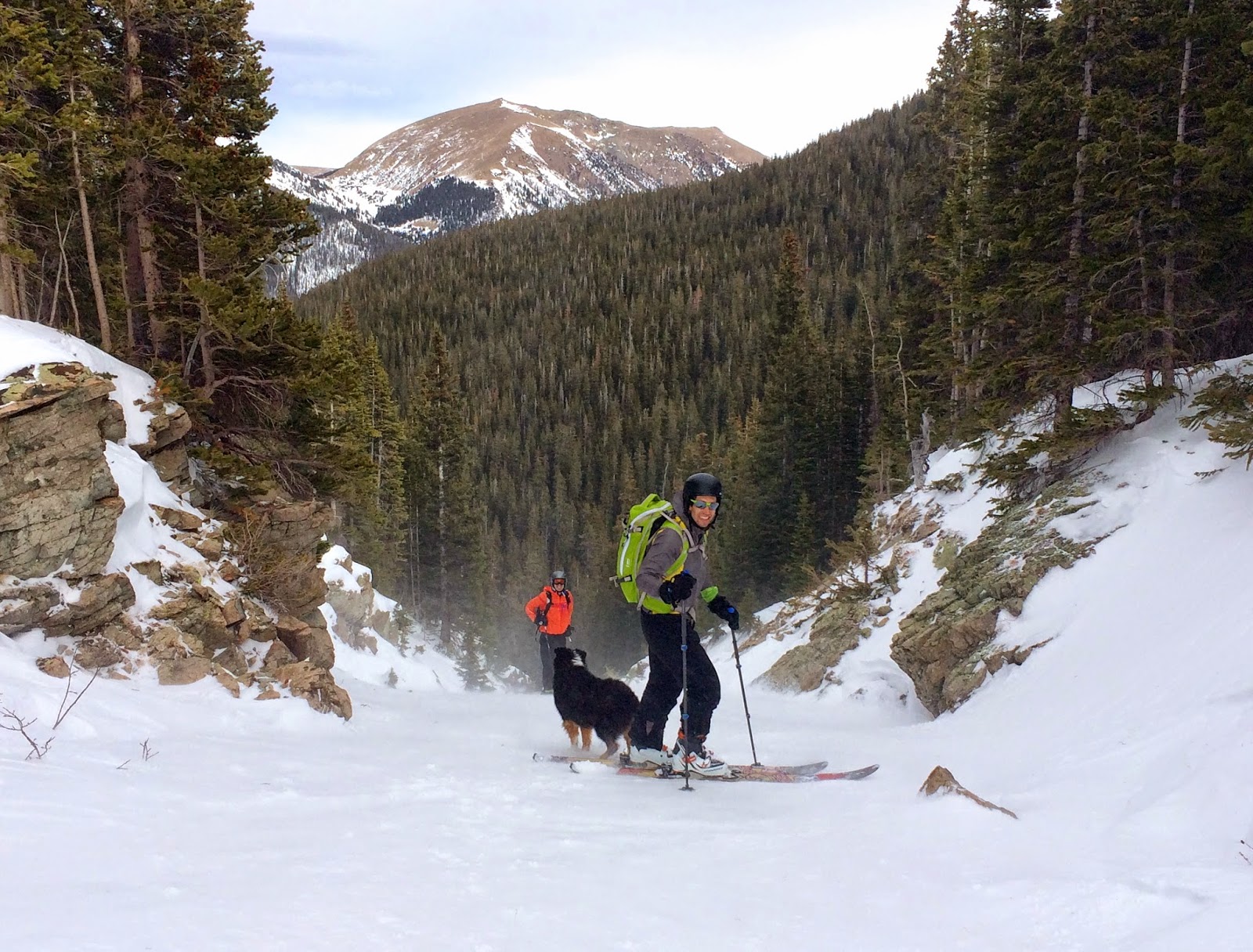
As we hit treeline, we hunkered down on some rocks for a bit to watch the skies, and decide if it was worth continuing on. There were a few rain/hail/snow droplets coming out of the clouds, but nothing too terrible, and there was still no sign of thunder or lightning. After watching the skies get dark, then clear up within minutes a few times over, we decided to continue on.
 |
| Observing Ryan, observing the skies |
 |
| Clouds forming and clearing above our heads |
I hadn't read the guide book prior to this hike, so I didn't really know what to expect. I remembered reading a while back that this one was trickier than it seemed- with the words 'exposed ridge line' possibly bouncing around in my head….well, good thing the weather was great?! er…
 |
| See- the weather was nice for a bit! |
After climbing for a while, and getting all the way up to 13,700 feet, it seemed like the peak was just within reach. We then climbed up and over a ridge to get on the other side of the mountain and WHAM- the wind hit us like a ton of bricks. It felt like a friggin' hurricane just blasted into us. OK, no big deal, right? The peak has gotta be like 200 feet away, and maybe a tenth of a mile. Friggin' lying GPS watches and guidebooks. It was all wrong!
 |
| Ha- this is when we thought the summit was just right there! |
 |
| Looking back on the exposed ridge line |
As I now look at the internet from the safety and comfort of my home, I see that this saddle point is actually 3/4 of a MILE from the summit! That is a long, long ways, when the wind is ripping at 50mph, you are at 13,700 feet, and there are sheer cliff faces 3 feet to your left, and 2 feet to your right. This was not a very fun moment in time for me (in case I hadn't mentioned it recently, I am actually afraid of heights. As I type, my palms are sweating just remembering this experience).
We began scrambling across this very exposed ridge line as the skies grew darker by the second. Holy shit this was a bad idea!! But man- the peak, it is just.right.there!! There was one more reeeeeaaallly sketchy part, where the trail no longer exists, and you have to careful traverse across some very loose gravel, with a 1,000 foot slope just one slip away. Not deadly- but would probably result in at least 1 broken bone. Oh- and 1 of our group- the one with 4 paws and a low center of gravity- unfazed by the entire thing. She thought the 'breeze' was 'refreshing'.
We finally reached the summit. I just wanted to sit and hide from the wind, but we had to get down before the wind and weather got any worse. But at least we got a few pictures!
 |
| Who's scared? Not me! |
 |
| Clouds kissing the tops of mountains |
 |
| I would've given anything to have her low center of gravity! |
As we skittered across the ridge line once again, there was one more giant gust of wind that caused both Ryan and I to drop to all 4s. I was at a particularly precarious spot and ended up crawling the 10 remaining feet until I could hide from the wind behind a big rock. Ugh.
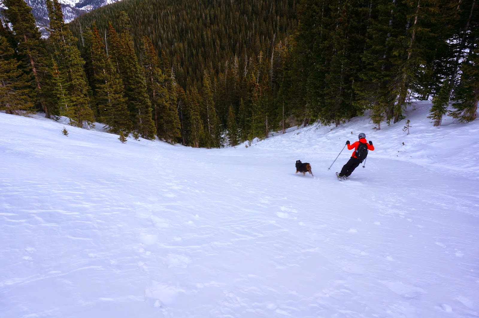
Once off the ridge line we whooped with relief, ate and drank again (neither of us had been able to even sip water for that last hour or so), and laughed about how scary that was. We then proceeded to run FAST down the rest of the mountain!! The trail is almost entirely dirt and non-technical, especially when compared to Mt. of the Holy Cross!
The end of the hike was so fast and rewarding- and we never even got that wet! Whew- We Won, Missouri!
Garmin Data- Note- for some strange reason, my Garmin Data is wildly inaccurate. It was also very off on the hike up- at one point Ryan and my Garmin were almost a half mile off! This hike ended up being almost as long as Holy Cross, but we finished an hour faster. There was 1,000 feet less climbing, making it more runnable, as well as much 'easier' terrain (aside from that last section of exposure, nothing was overly technical).