Showing posts with label Ski Mountaineering. Show all posts

Saturday, January 10, 2015

Backcountry Skiing at Butler Gulch

Butler Gulch is a popular place to backcountry ski in the front range. It is a great place to get a very solid workout and make some turns.

Driving:

To get there, take I-70 West from Denver and take the Empire exit (route 40). Drive almost 10 miles through Empire, into the bitty town of Berthoud Falls. There is a left hand turn here for Jones Pass/Henderson Road. If you go around a huge switchback, you've gone too far. Take the Henderson Mine Road for 1.8 miles until you see a small road to your right. If you miss it, don't worry- you have to immediately turn around because the Henderson mine won't let you in. The parking lot is at the end of this road (about 800 feet), and most vehicles should be OK- however it does get a bit icy.
There are actually 2 parking lots at Butler Gulch- one for skiers and the other for snowmobilers- or people towing a Scamp!

Skinning:

Once your skis and skins are on, the approach starts at the other end of the parking lot. Head up the trail/road (it's a road in the summer). After 0.25 there is a turn to go to Butler Gulch on your left. Go around the gate and continue on. The other option at that juncture is to go up Jones Pass (that would be if you go straight/right instead of towards Butler). This is where the snowmobilers go, but there is some skiing options that way, too.

The skin is a gorgeous track through a deep forest. The first 1.5 miles are relatively flat, with a few downhill sections which are always interesting on skins. Remember those spots for your ski back to gain enough momentum! The first real climb starts around 1.5 miles.

After climbing this not too steep section for a bit, you finally come to a section where you can see the lines you will be skiing down (around 2 miles). When we ski, we typically stop at this point and head back up for another lap. The trail continues to your left up a few switch backs, until you reach the top (ish). There are still mountains above you, but this top basin area is where most of the ski lines are. You can continue skinning across this section until you pick your line. Enjoy the views!


The more or less top of the skin track

Skiing:

Getting ready to ski down!
Cody requests that you please take this ridiculous snow suit off
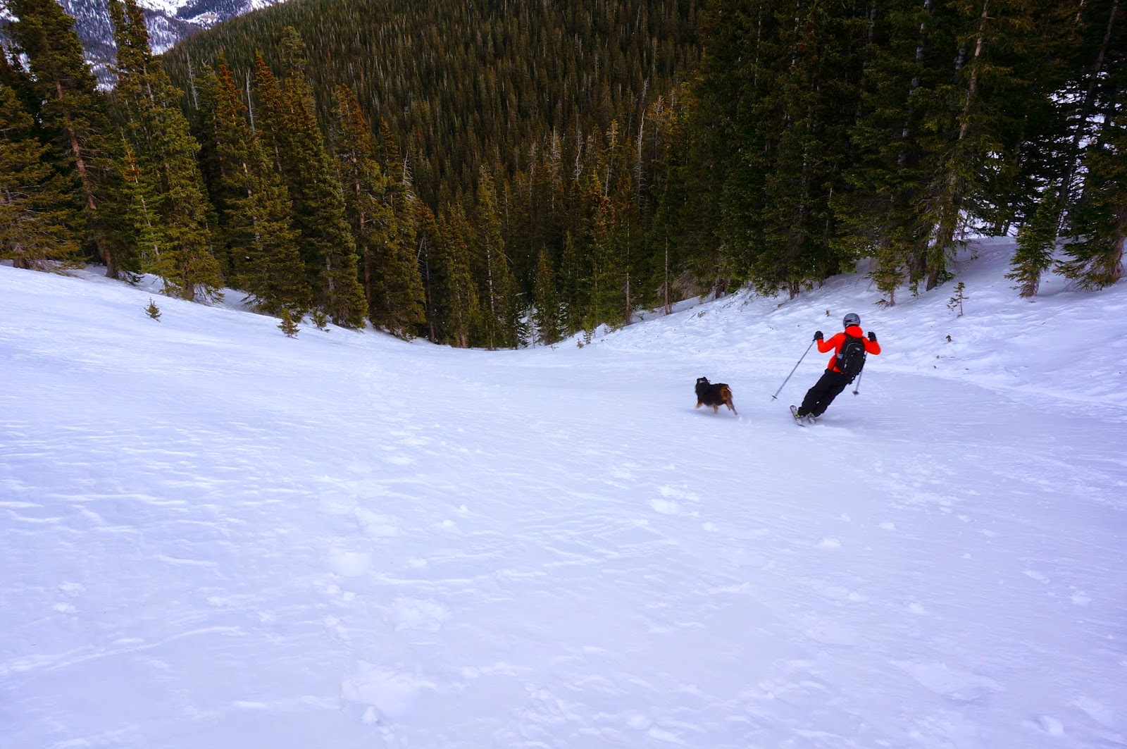
There are 3 different faces to ski down from the top of the skin track. None are terribly long, but they are fun! If you stop at the switch back section of the skin track, it's easy to do multiple laps on these runs. There is also a fun little gully on skiers left- just watch out for rocks!
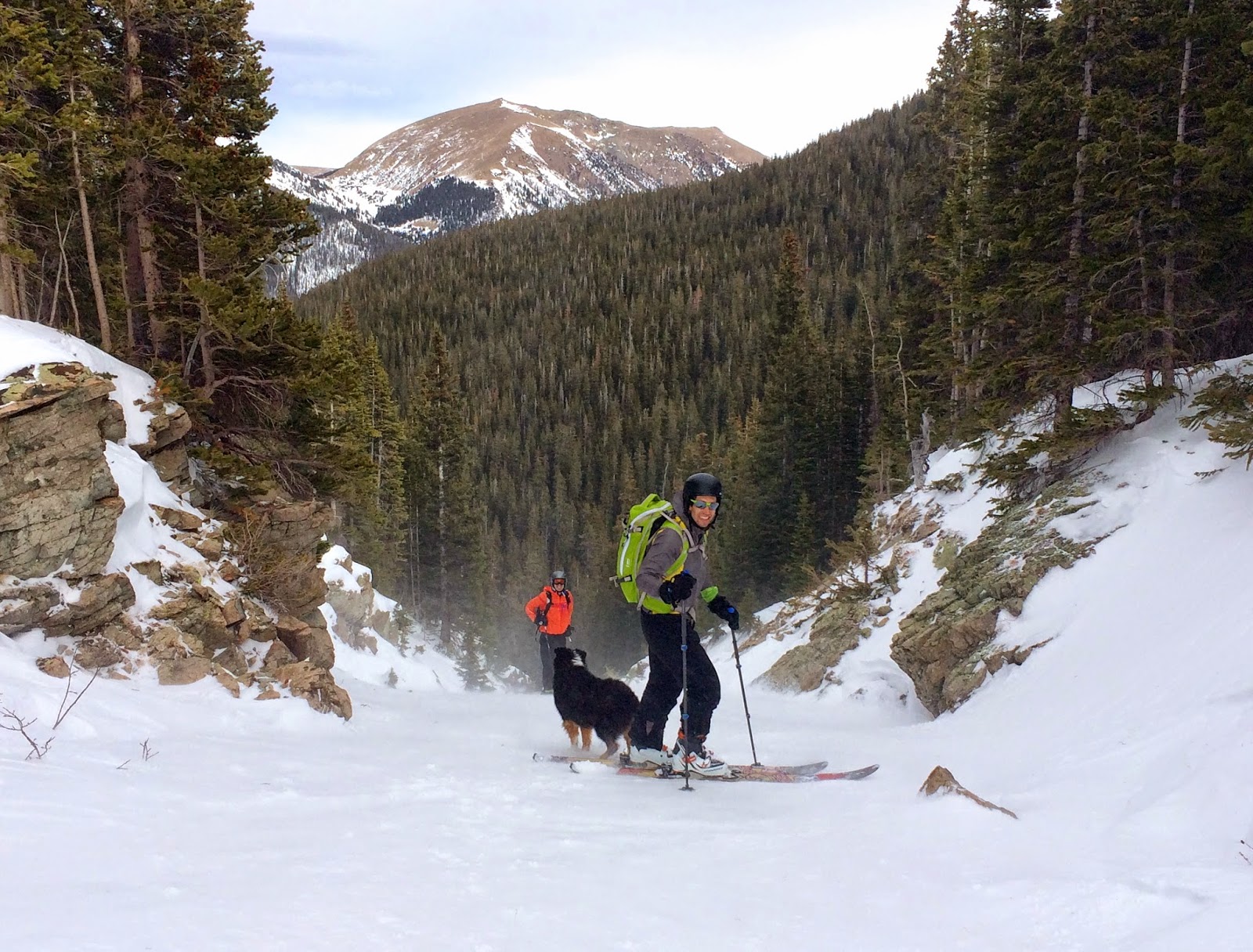
Top of the gully
Wheee!
There is another section that climbs a bit more in elevation, with a nice face that is far skiers right- but we haven't skied this yet. I think there may also be runs in the trees, since I've seen people in them, but we haven't quite figured out the best line.

After doing as many laps as possible, take the fast skin track all the way back down to the car!

Butler Gulch is a great place to get in a solid workout while finding fresh stashes of powder. It is very popular though, and like most places, can be susceptible to wind crust.

And here is a Garmin file for map references:

Monday, March 24, 2014

Hidden Valley: Backcountry Skiing in Estes Park


In the summer, Hidden Valley is a picnic area in Rocky Mountain National Park, but in winter it transforms into a snow play area and backcountry skier mecca. The base of the ski area is located just a few miles past the Beaver Meadows Ranger Station off Trail Ridge Road. Between 1955-1991, Hidden Valley was a ski resort with lifts and a tow rope. Now it's a backcountry paradise for skiers, especially those who love skiing in the trees.

Check out Hidden Valley skiing in our video:


From the Denver area, you can get to Hidden Valley in ~1:40 taking CO-36 through Lyons. We're always looking for places to ski where you don't have to take I-70, which has been a disaster this snow season. 

At the base of HV is a warming hut and bathrooms with flush toilets, sinks with soap, and hand dryers, aka handwarming stations. Ample parking is available, even on Saturdays and Sundays. Most people who come here are families looking for a good sledding hill for the kids, so turnover is high since they only stay for a few hours. On the weekends, volunteers for RMNP are at the base of the sledding hill monitoring sledding activity. They are very friendly to backcountry skiers. 

On March 1st, Alaina and I decided to check out Hidden Valley for the first time, and we decided to buy a season pass to RMNP ($40), which pays for itself in two trips to the park. It turned out that the skiing was so good that I went again the next day. As we drove up through Estes Park, the lack of snow was disconcerting, but every 1/2 mile past Beaver Meadows station, the snow piled higher and higher until you get to HV, where the storms drop great snow all winter long. 

There are multiple powder pockets hidden here with low traffic and opportunities for fresh tracks every run. The base is rather low at 9,500', and you can skin/hike/snowshoe up to Trail Ridge Rd at 10,300' for several fantastic runs, or you can continue on above the road (if conditions permit), up through the bowl that peaks out around 11,500'. 

Treeline here is around 11,200', so we proceed with caution, for the bowl is subject to wind slabs and grades steeper than 30%. We have found the best skiing below the road, for it's both protected by trees and features grades of 20-30% which carries less avalanche risk. Additionally, most people take the old Columbine trail up to the bowl and above the road, so traffic is higher here, and on good snow days these runs will get skied out in a day or so. 


I've been studying the old trail maps from the ski resort, and some of the old runs are very hard to find; granted, it's been 23 years since the resort closed. For example, Juniper Traverse and Lower Juniper seem to be completely grown in with trees, though Juniper is still a great run. The one time we tried to find Fire Cut we ended up almost in the creek on River Chute. I'd like to explore 1st-5th Bowls more, since they're tree-lined, but the grade is ~30% so it would have to be on a low avy risk day. 


On the downside, the ski-able area at Hidden Valley is smaller than Berthoud Pass, as a comparable backcountry area, but the runs at HV start well below treeline, so the avy risk is lower at HV. The old HV runs Aspen, Juniper, and Lift Line runs are North facing slopes, which usually have less avy risk, but the bowls face east, which typically carry higher risk. On March 8, a volunteer ranger reported to us that a split boarder said he triggered a small avalanche on "Orgasm Alley", and although that's certainly not the name of an old trail at Hidden Valley, I presume this is a run in the bowls above the road as we saw no slides on the north slopes that day. 


A last note, at the time of writing this, CO-36 has a section of one lane road controlled by a traffic light that we've waited anywhere from 0 minutes to an hour to pass through. There is a detour on CO-7 that is worth considering during weekdays or high traffic times on the weekends.

Our go-to backcountry skiing spots are now Hidden Valley and Berthoud Pass, with Caribou and East Portal next in line. Loveland Pass still scares me and doesn't have a great skin track to the top. 

Tuesday, February 25, 2014

Trail Review: Backcountry skiing at Arapahoe Lakes, East Portal Trailhead

Ryan and I are on a quest to find the best spots to backcountry ski when the avalanche danger is high and we don't want to get stuck on I-70.

Here is the video version of skiing at Arapahoe Lakes:


This past weekend we explored an area outside of Rollinsville, near Nederland, CO. The drive from Golden is easy since the unpaved road to the trailhead is actually plowed. We parked at the East Portal Trailhead, near Moffat tunnel. By the time we arrived at 10:30am on a Sunday, the parking lot was full! That being said, we saw very few people while out skiing since there are a lot of trails to explore.
The parking lot cleared out by the time we left

On our previous excursion to this area, we stuck to the South Boulder Creek trail. To get to Arapahoe Lakes, we started out on the South Boulder Creek Trail, but at ~1.2 miles, we turned right at the trail sign to go on the Forest Lakes Trail. At around 2.8 miles, we came to an open meadow (?) area. There were some skin tracks that went up to the right, so we first tried that path.
Choosing our path
The forest was a bit dense, so we weren't too keen on coming down through that area, so after about 200 feet of climbing, we turned around. We then took the more well used skin tracks to our left and climbed up through the some well spaced trees. This was definitely the way to go. The grade was mild, the trees weren't too dense, and it didn't look like there were any areas that could trigger an avalanche.

Skinning up!
We climbed about 500 feet to a little bit of a clearing area, where we could actually see the mountains. There were some awesome bowls and peaks above us, but we could see a few natural slide areas, so we didn't want to risk going any higher.

Cody wants to keep exploring

Maybe some day we will ski there
With our slight detour, the total ascent was 3.6 miles to this point. Skiing down through the trees was a blast- the 12" of fresh powder felt amazing, the grades were nice and mellow and the trees were well spaced.
The view near tree line where we took off our skins

Perfect day


I highly recommend this area if you are looking for a very long, very gradual climb, with little avy danger and great tree skiing. I also can't wait to get back here and check out some of the bigger bowls- you could make a really long run from the very peak all the way back to the car!
Powder!

Family ski day

Cody the ski dog

Perfect lines through the trees

Cody is swimming in powder!


Definitely bring food and water because you can spend a lot of time out there. The ski back down to the car was a lot of fun, but be careful of other people coming up!


Here is the Garmin Data:

Monday, January 27, 2014

Wolf Creek Pass Backcountry Skiing


Last weekend we took advantage of Ryan's 3-day weekend to head down to the Southern San Juan mountains to go Alpine Touring. There is a great book to help us find back country ski areas called 'Powder Ghost Towns', detailing where old ski resorts used to be. One such area is at Wolf Creek Pass. There is a resort about 800 feet away, on the other side of the road that uses different mountains, but we wanted to explore potentially untouched powder.

For those that don't want to read, here is the video from our adventure! (Make sure you watch it in 1080p- click the settings wheel to change the resolution).


For the long version with pictures:
The San Juan Mountains

On Friday after Ryan finished work, we loaded the car and drove the 4.5 hours down to practically New Mexico. The drive was really easy, with a lot of very straight roads. When we arrived at the Wolf Creek Pass parking lot (where we were camping in our car), the moon was so incredibly bright that we did not use our headlamps outside. I eagerly ran up the side of the mountain to try and take a night shot with my new camera. It almost worked….

The next morning, Cody woke me up far too early to go pee. When I stepped outside, I couldn't believe the sky! What a perfect way to start the day!
Perfect morning sky
The Element Camper on a moonlit morning
Blue bird sky and skiing with my loves- what could be better?
The forecast for Saturday was 30 degrees and sunny, no wind- absolutely perfect. As we got our gear together, we saw some other skiers head into the woods, and that would be the last people we would see until we got back to the car that afternoon.
Ready to Ski!

The first skin up to the top of the mountain was a 1.1 mile gradual climb. The view at the top made it hard to want to ski down!
Gradual Skin up

Gorgeous views of the mountains

Cody enjoys the view before our first ski down
Wolf Creek Pass is a perfect area to explore Alpine Touring because there are a lot of low grade slopes, where the avalanche danger is typically low. Additionally, there is a lot of tree skiing since the forest is not as dense as other areas of Colorado. There were also what looked like endless runs and many faces of the mountain to explore. Since nearly everyone else goes to the resorts to use lifts (hah!) we had untouched snow on every run of the day. It was unreal.

Always making fresh tracks

The first day Cody and I skied 5.5 miles, while Ryan skied an additional few runs totaling 8.5 miles. After a full day of skiing, we cooked spaghetti on our camp stove and watched the sun go down over the mountains.
Winter cooking out of the Element

Sunset

Sunday was our big day. We found an amazing run through the trees that gave us almost 1,000 feet of descent. Every run was different, with a new stash of powder to turn through. Skinning up was long, but it was an amazing workout and we managed to ski 10.5 miles! Cody loved every single minute of it!

Could Cody be any happier?!

Perfect tree skiing

All our lines

Cody also loves tree skiing
Skiing on the edge
I love these skis!!

Monday we still managed to ski almost 7 miles before having to head back home. Every run we did for nearly the entire weekend was in fresh snow. Even though the region hadn't gotten any good storms in about a month, there were still so many fresh tracks if you looked for them. The snow was so soft that it didn't matter to us how deep it was- every turn was amazing!


Camping in the Element wasn't too bad, since we were absolutely exhausted after every day. The temps did get down to 1 degree during the night, so we were happy to have our -20F mummy sleeping bags. Despite wearing multiple layers of clothing, I did wake up cold a few times. Cody slept in my mummy bag with me and we kept each other warm. The other difficulty with winter camping is that everything freezes. Everything- water, milk, beer, even contact solution!! The Element Camper was terrific, but we aren't sure if we will camp in winter again….

Our perfect camping spot

I love this funny little toaster
It was an absolutely incredible weekend- 22.5 miles of skiing with over 10,000 feet of vertical gain in perfect weather. Cody had a blast chasing us down the mountain. She would try to herd us for the first 2 turns, but after that she just ran as hard as she could to keep up. She especially loved chasing us through the powdery snow in the trees. I would caution other dog owners before attempting to ski with their dog, though- crashing into them or cutting their paws with skis is a very real concern. Cody has been running and herding us for almost 7 years now, and despite seeming to get very close to us, she is always very careful and we never once ran into her.

This is what happens after chasing skiers for 22.5 miles


Until we ski again…..

The long road home

Sunset over Colorado