Showing posts with label Trail Review. Show all posts

Monday, July 20, 2015

Trip Report: Mt. Sherman

Date: July 19, 2015

Ryan and I only have a few more 14ers left that are within a 2 hour drive of home. Mt. Sherman is one of the easier 14ers, so we decided to finally summit it. Since one of us (ahem, Ryan) isn't a morning person, we decided to drive up and camp Saturday night, rather than waking up super early to drive to the trailhead. We also convinced our friends Liz and Ashley to join us!

The road up to Sherman goes through a lot of private land, but we were still able to find an amazing camping spot. And yes-  we TENT camped!!


After sleeping in until 7AM, we hit the 4WD drive road that heads up Sherman. This time, all of our watches died, so we really aren't sure how high we started or how long the route was.

The first part of the trail went past some really interesting abandoned mines. It is amazing how much work it must have been to mine this high- and how much of the sites are just left here, in the middle of the mountain!


The views back down the valley were really pretty in the morning- we had just a bit of sunlight to enjoy

The trail itself was pretty easy for the first half. It got more rocky as we climbed higher, but the grade was really gradual the entire way.


Once you get to the top of the climb, the rest of the trail is mostly a ridgline until the summit. It doesn't feel as exposed as other ridge lines, but that may be because there was virtually no wind while we were climbing.


There was still a lot of snow on the trail- I couldn't believe that it hadn't melted- it's almost August!

We had a really nice, relaxed pace headed to the summit. For once, I almost felt like I could breath!


Just as we made it to the summit, the clouds really rolled in, making for a rather unremarkable summit shot. However- we did manage to get all the people AND the dogs into one frame, so I call that a win!


The trail was only slightly technical, but the grade was so gradual that it was perfect to run down. As we were flying by all of the other hikers, we overheard a comment from a group that was headed down while we were still 500feet from the summit 'They must've turned around…'. Heh. nope- we just fly like the wind down the side of the mountain!

Another perfect day in Colorado.

Sunday, July 19, 2015

Trip Report: Mt. Princeton

Date: July 12, 2015

The snow has finally melted in the high country- it's time for some 14ers!! This is a late start for us this summer, but June was a super busy month for us. The previous day, we hiked up/ran down Mt. Massive with a few friends, so our legs were a bit pounded from 7 miles of downhill running.

The drive up to the Mt. Princeton trailhead was much scarier than I expected- it is a very narrow 1 lane road, with a sheer drop on one side. The road is in pretty rough shape- I was a little worried that my 4Runner would bottom out on a few sections.

We parked slightly lower than the actual parking lot because we were sick of driving. The first part of the hike is to continue up past the parking lot on this 4WD road. The views are pretty, but it's still about a mile of road hiking.

The actual trail that heads up the mountain comes up on your right and is easy to miss. There are a few steps that come down from the side of the road- and that's the trail. Luckily someone was coming down as we were at that point so we didn't miss it!

The trail goes up for a bit on a dirt path through the meadow. Shortly thereafter, the boulder hopping begins, and continues all the way up the summit! The boulder hopping was all quite easy, but if you aren't feeling very balanced, it could be a challenge.


The only other tricky thing about getting to the summit is that the trail you are on for the first part of the hike doesn't actually head to the summit- it goes to a mine. You have to find a trail that heads up a switch back part on your left. I would tell you the elevation and mileage, but my Garmin Fenix2 has decided to completely die :( That part of the trail goes up fairly quickly, where you get to the first ridge line with amazing views


Overall, Princeton was harder than I expected it to be. It may have been the beating my legs took the day before, but I felt like we really earned the summit of Princeton- there were a lot of times I was using my hands to make it up. It was fun!!


There was only one small patch of snow left on the mountain, and obviously, Cody found it! Without this patch of snow, there was no other water on the trail for dogs. I actually had Cody drink from my hydration pack twice- on most other 14ers she can usually find water. So- bring lots of water for this one- it was hot!


This was Cody's 26th 14er, and as usual, she killed it!


Despite the fact that the route was very bouldery/rocky, we still did our best to run down as best we could!


Our overall time was probably about 4 hours, but we don't have any idea because we actually ran watchless (probably like the first time, ever)!

If you are prone to falling, I would recommend trekking poles on this route. Also be sure to have your stickiest/most stable shoes- lots of lose rock and gravel. 


Saturday, January 10, 2015

Backcountry Skiing at Butler Gulch

Butler Gulch is a popular place to backcountry ski in the front range. It is a great place to get a very solid workout and make some turns.

Driving:

To get there, take I-70 West from Denver and take the Empire exit (route 40). Drive almost 10 miles through Empire, into the bitty town of Berthoud Falls. There is a left hand turn here for Jones Pass/Henderson Road. If you go around a huge switchback, you've gone too far. Take the Henderson Mine Road for 1.8 miles until you see a small road to your right. If you miss it, don't worry- you have to immediately turn around because the Henderson mine won't let you in. The parking lot is at the end of this road (about 800 feet), and most vehicles should be OK- however it does get a bit icy.
There are actually 2 parking lots at Butler Gulch- one for skiers and the other for snowmobilers- or people towing a Scamp!

Skinning:

Once your skis and skins are on, the approach starts at the other end of the parking lot. Head up the trail/road (it's a road in the summer). After 0.25 there is a turn to go to Butler Gulch on your left. Go around the gate and continue on. The other option at that juncture is to go up Jones Pass (that would be if you go straight/right instead of towards Butler). This is where the snowmobilers go, but there is some skiing options that way, too.

The skin is a gorgeous track through a deep forest. The first 1.5 miles are relatively flat, with a few downhill sections which are always interesting on skins. Remember those spots for your ski back to gain enough momentum! The first real climb starts around 1.5 miles.

After climbing this not too steep section for a bit, you finally come to a section where you can see the lines you will be skiing down (around 2 miles). When we ski, we typically stop at this point and head back up for another lap. The trail continues to your left up a few switch backs, until you reach the top (ish). There are still mountains above you, but this top basin area is where most of the ski lines are. You can continue skinning across this section until you pick your line. Enjoy the views!


The more or less top of the skin track

Skiing:

Getting ready to ski down!
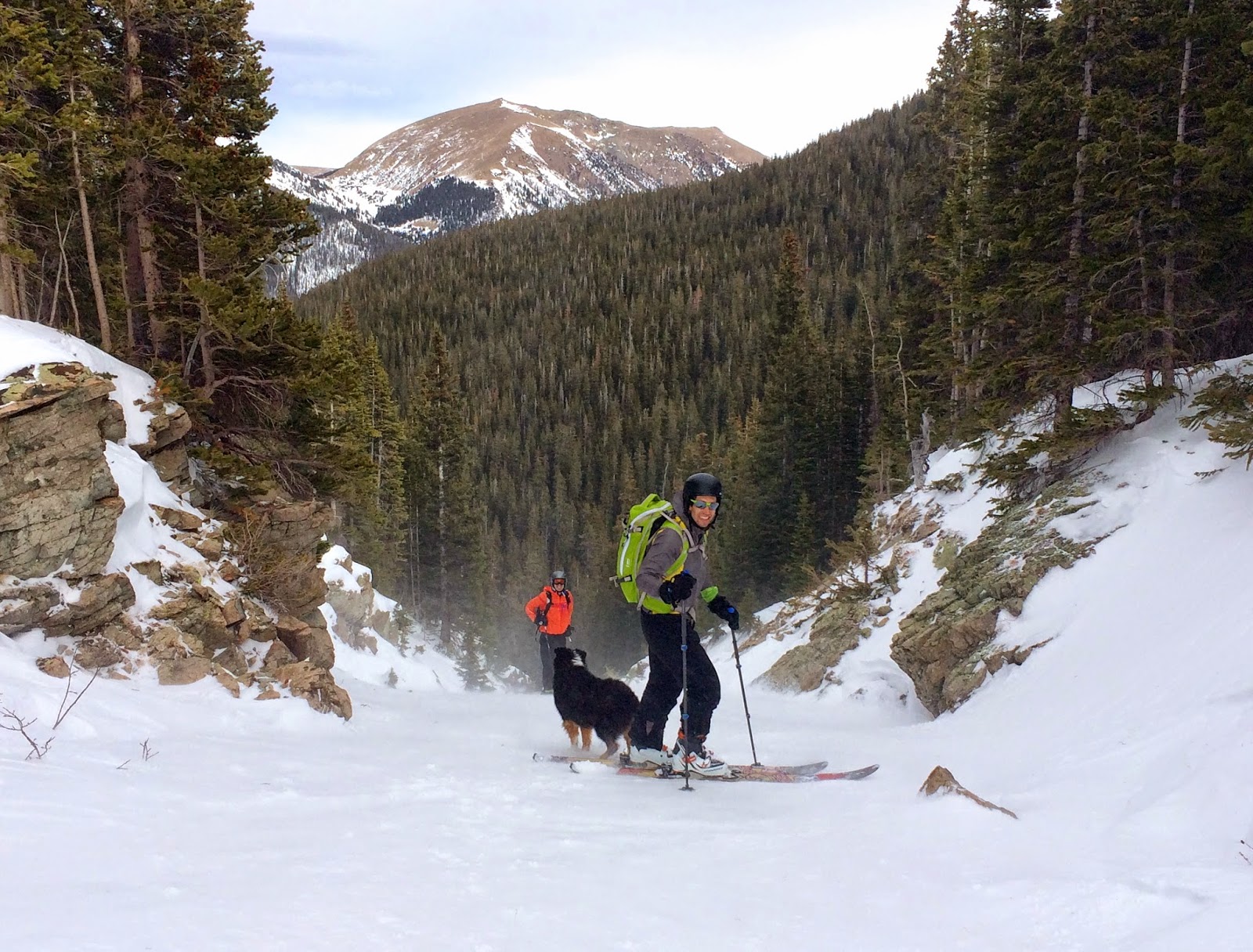
Cody requests that you please take this ridiculous snow suit off
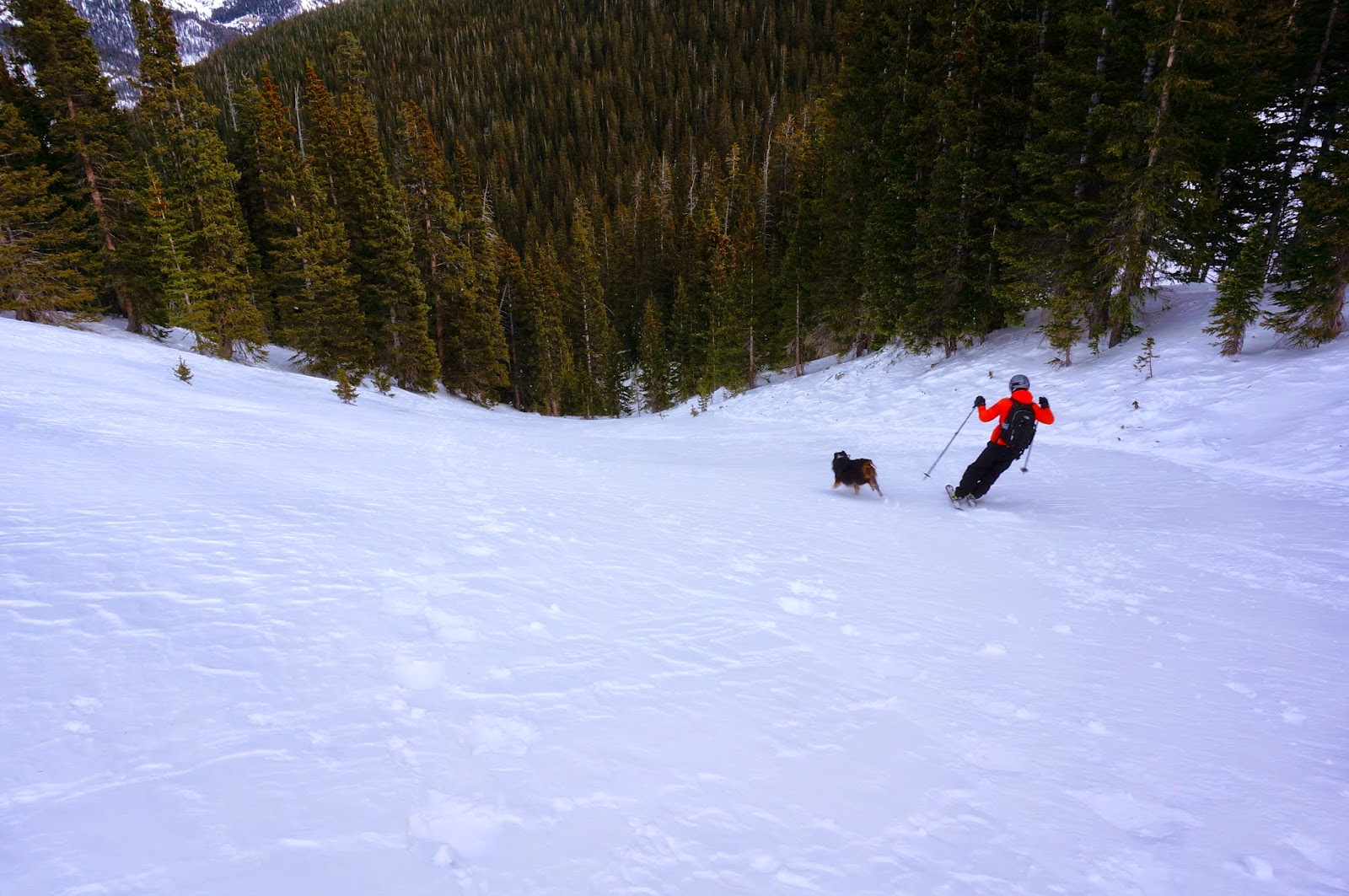
There are 3 different faces to ski down from the top of the skin track. None are terribly long, but they are fun! If you stop at the switch back section of the skin track, it's easy to do multiple laps on these runs. There is also a fun little gully on skiers left- just watch out for rocks!
Top of the gully
Wheee!
There is another section that climbs a bit more in elevation, with a nice face that is far skiers right- but we haven't skied this yet. I think there may also be runs in the trees, since I've seen people in them, but we haven't quite figured out the best line.

After doing as many laps as possible, take the fast skin track all the way back down to the car!

Butler Gulch is a great place to get in a solid workout while finding fresh stashes of powder. It is very popular though, and like most places, can be susceptible to wind crust.

And here is a Garmin file for map references:

Monday, October 27, 2014

Colorado Running Loops: Indian Peaks King Lake High Lonesome Devils Thumb


Date of the run: June 28th, 2014

One of the best looped runs close to the Front Range is in the Indian Peaks wilderness area outside of Boulder. With only an hour drive (that does not involve I-70) you can be in a very remote feeling wilderness for a perfect trail run or backpacking adventure.

The start is at Hessie Trailhead which gets very crowded very early during the summer (like 8am early).   The run can be done in either direction, though the climbing is more gradual in the clockwise direction (headed to Lost Lake first). Most people park their car legally along the road (between the signs) near the trailhead. Only high clearance, brave individuals drive their trucks to the actual trailhead- I have always seen the road to the TH under 1-2 feet of water for long stretches. It's about 0.6 miles around these mini-ponds to the actual Trailhead. Elevation at the start is 9,028 feet and the highest point is 12,100 feet.

The Route: The first mile (or so) stays the same for either direction. At the first trail juncture, if you chose the clockwise direction, head to Lost Lake (bear left). The trail gradually ascends at a steady rate for the next 6.5 miles.


Despite the fact that we ran this loop in very late June, we still found ourselves post-holing through a lot of snow. It made for a lot of glissade opportunities though!


After climbing through a lot of snow fields, and up a few switch backs, we made it to Kings Lake. The color of this lake was incredible.

This is HoneyBear- Cody's twin!
Still a lot of ice, even though it was almost July!
After enjoying the view of Kings Lake, we ran up the final pitch to the pass.

It was so windy- Jason had to hold onto this sign to not get blown away!

There was a nice trail to follow along the high alpine pass to make this a loop, following high lonesome trail until it intersected with the Devils Thumb trail. Running across the high mountains surrounded by amazing vistas was, well- a nice photo opportunity :)


There was only one more turn to take us down to Devils Thumb. Our trail was covered in snow, so we ended up sliding down on our butts. We finally got pack to hard packed trail and had a blast running down the mountain.


Tips:

  • Arrive early-  like before 7:30am early- Hessie trailhead fills fast, not a lot of parking, and the alternative is parking at a high school and taking a bus in.
  • The trailhead is very popular, as already mentioned, but once you are about 2 miles from the trailhead, any crowd drastically thins
  • Plenty of water along the way
  • Lots of snow well into the summer (at least in 2014)
Garmin Data: